Recharge in a changing climate (RiCC) project
The Recharge in a Changing Climate (RiCC) project is establishing seven monitoring sites on the Swan Coastal Plain to focus on understanding biogeophysical processes affecting the fluxes of water that recharge our aquifers. The project is providing multiseasonal recharge estimates that characterise heterogeneity at plot and larger scales using hydrogephysics and remote sensing.
Funding provided by the Department of Water and Environmental Regulation.
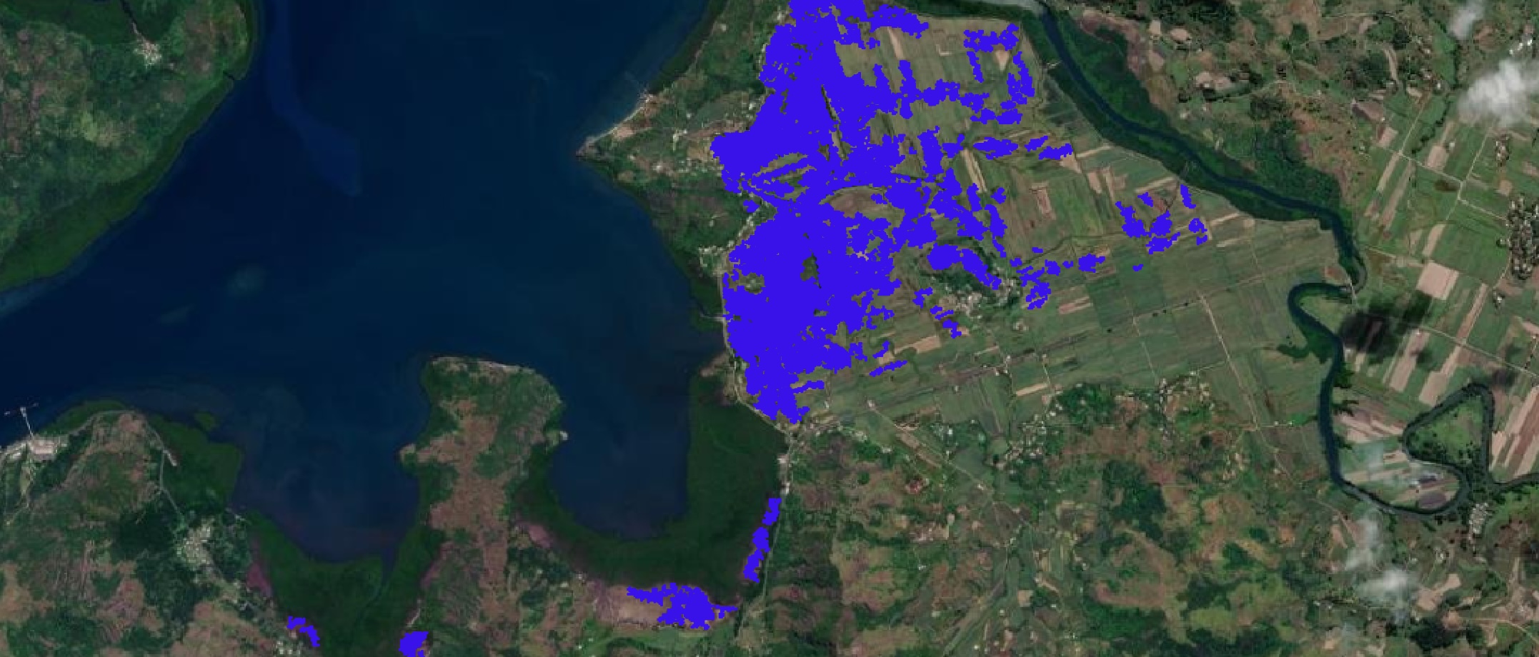
Detecting flooding in Fiji's croplands
Developing machine learning tools to convert satellite images into land cover and flood maps with Fiji's Ministry of Agriculture. Annual land cover maps for Fiji have been generated since 2019 and are openly available from the Pacific Data Hub. Other open access products include flood maps for recent tropical cyclone events and large scale training datasets for machine learning land cover and flood classification tasks.
Funding provided by a Climate Change AI Innovation Grant.
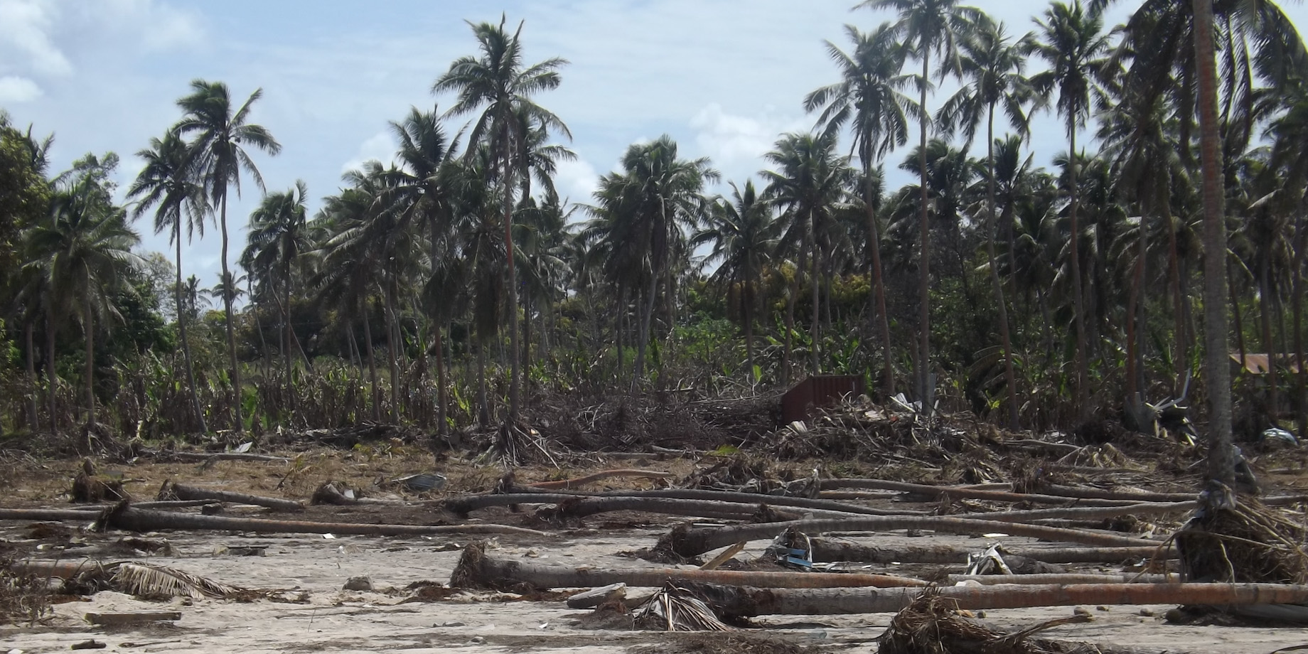
Mapping Pacific agricultural landscapes
An open-source farm mapping system was built with Tonga's Ministry of Agriculture which has been used to map tens of thousands of farms across multiple years as part of Tonga's agricultural monitoring efforts. The system has also been used to generate data to guide disaster response after the Hunga Tonga - Hunga Ha'apai volcanic eruption.
Funding provided by ACIAR.
The Australian CZO network (OzCZO) project
This project consists of multiple Critical Zone Observatories (CZOs) across the Australian continent that are designed for advanced studies of biogeochemical processes and elemental/isotope cycles within near-surface reservoirs, including vegetation, soils, vadose zone and groundwater. Partnering with national research infrastructure projects TERN and AuScope, OzCZO fills crucial gaps in environmental monitoring, particularly regarding soil dynamics, root zones, and integrated processes within the critical zone.
Funding is part of the Australian Research Council’s Large Infrastructure, Equipment and Facilities scheme (ARC LIEF)— provided by the Australian Government.
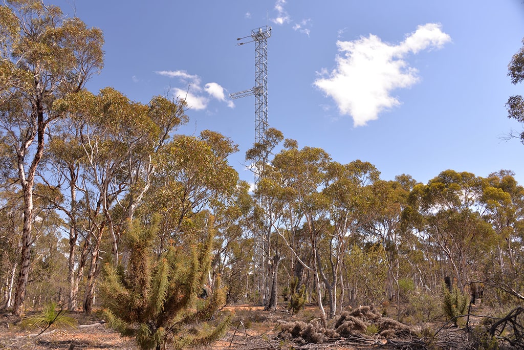
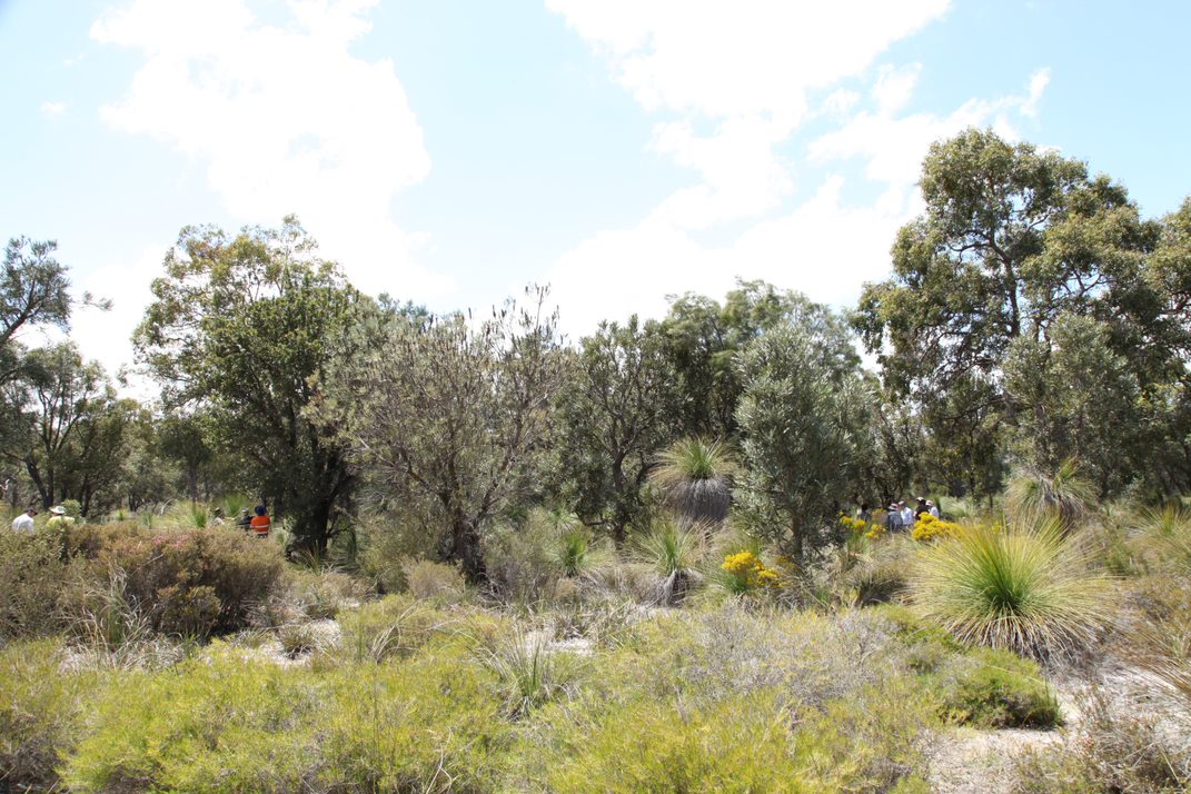
TERN-WA Project
The project's three monitoring sites (Gingin, Boyagin and Great Western Woodlands) cover a biodiverse ecological and climate gradient. New equipment at these sites will enable improved characterisation of water cycle processes across these landscapes focusing on linking ecosystem stress to drivers such as temperature and water stress.
Funding is provided by NCRIS Terrestrial Ecosystem Research Network (TERN) and WA State Government co-investment from WA Department of Jobs, Tourism, Science & Innovation (JTSI).
ICoAST - integrated coastal analyses and sensing technology: mapping marine & coastal habitat
Coastal environments and ecosystems in Western Australia are facing a time of unprecedented pressures from a combination of population growth and climate change. The ICoAST project is developing and applying a suite of tools and methods to improve monitoring and understanding of ecological and physical processes in Western Australia.
Funding is provided by Indian Ocean Marine Research Centre (IOMRC).
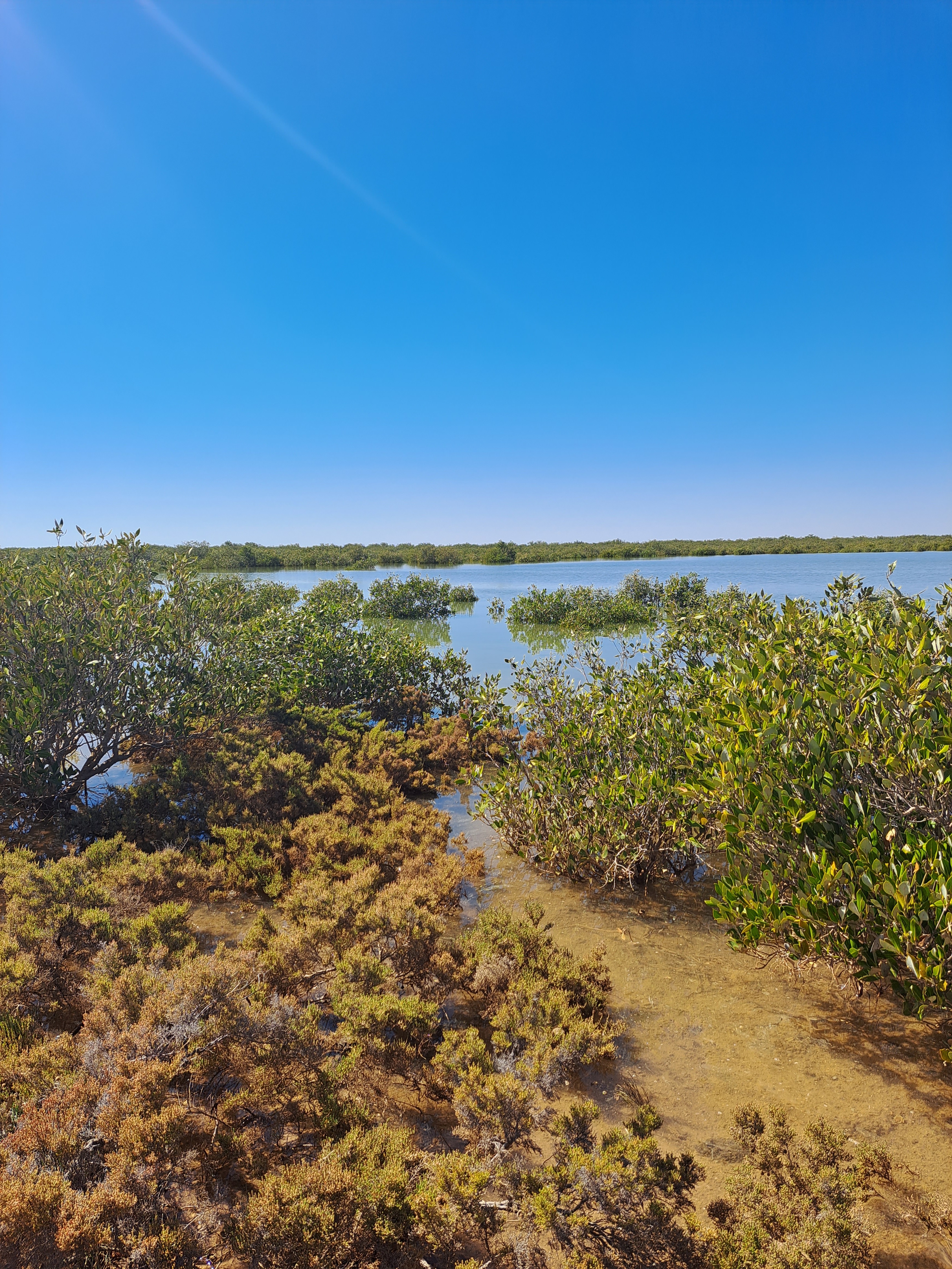
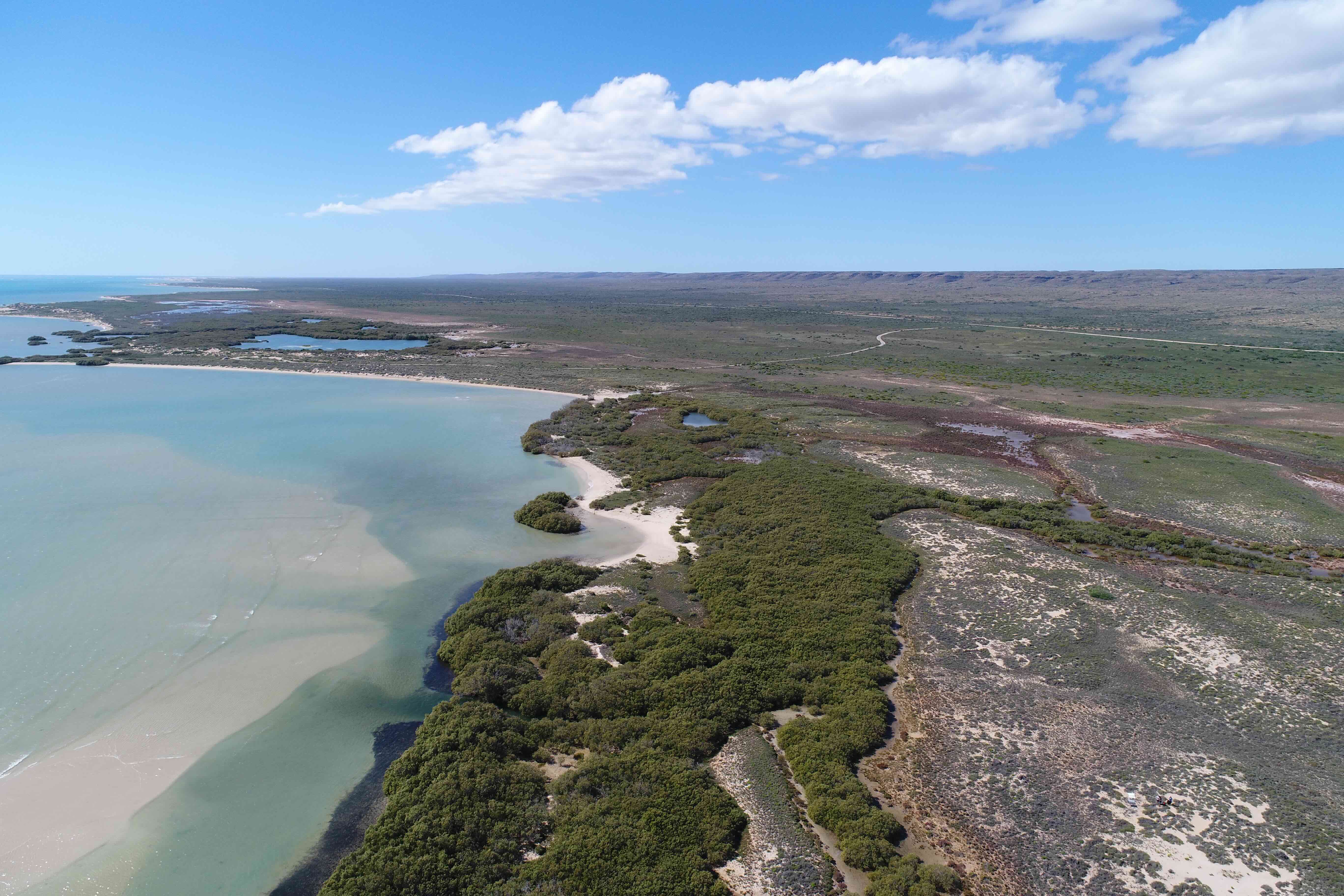
Pilbara intertidal mapping project
This project will assess and map a regional scale cyanobacterial mat extent. In the Exmouth Gulf and Pilbara coast, salt flats occur on the landward edge of intertidal zone, often bordered seaward by fringing mangroves and landward by dunes. Salt flats cover 1026 square kilometres in the Exmouth Gulf, an area over six times greater than mangroves here. Globally, these environments are understudied, yet are of increasing interest due to the salt minerals they contain.
Funding is provided by The Western Australian Marine Science Institution (WAMSI).
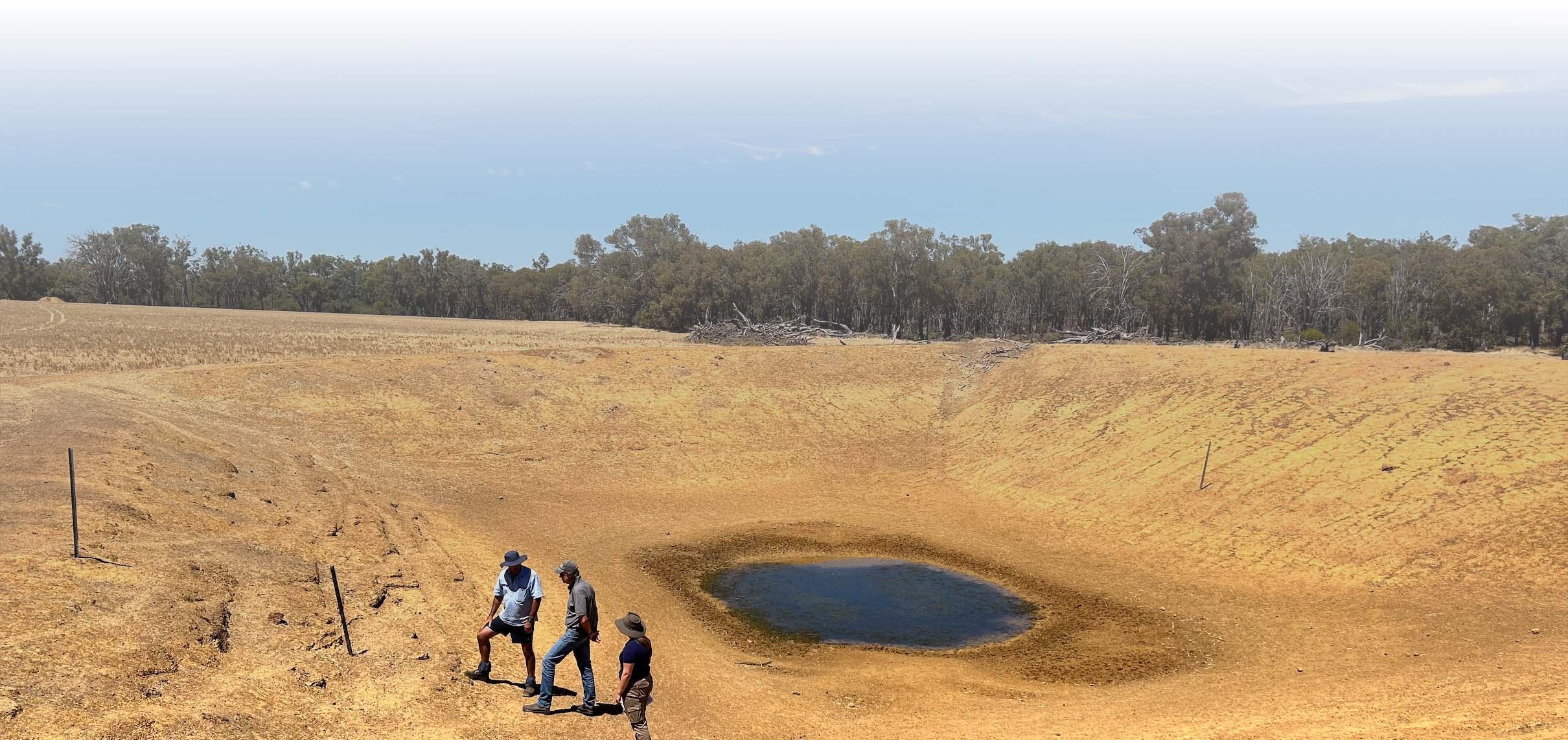
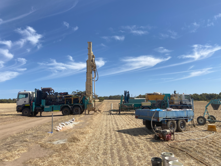
Water Smart Dams
This project aims to develop knowledge and water planning tools for farmers who need their dams to work in all years and be able to make water investment decisions with confidence. The project involves 12 core demonstration sites, building farm-based water planning tools, workshops, field days and industry training. The project investigates solutions including renovating existing dams, building new dams, and implementing evaporation suppression and runoff technologies.
This project is jointly funded through the Australian Government’s Future Drought Fund (FDF) and the Western Australian state government’s Agriculture Climate Resilience Fund (ACRF), supported by the Department of Primary Industries and Regional Development (DPIRD).
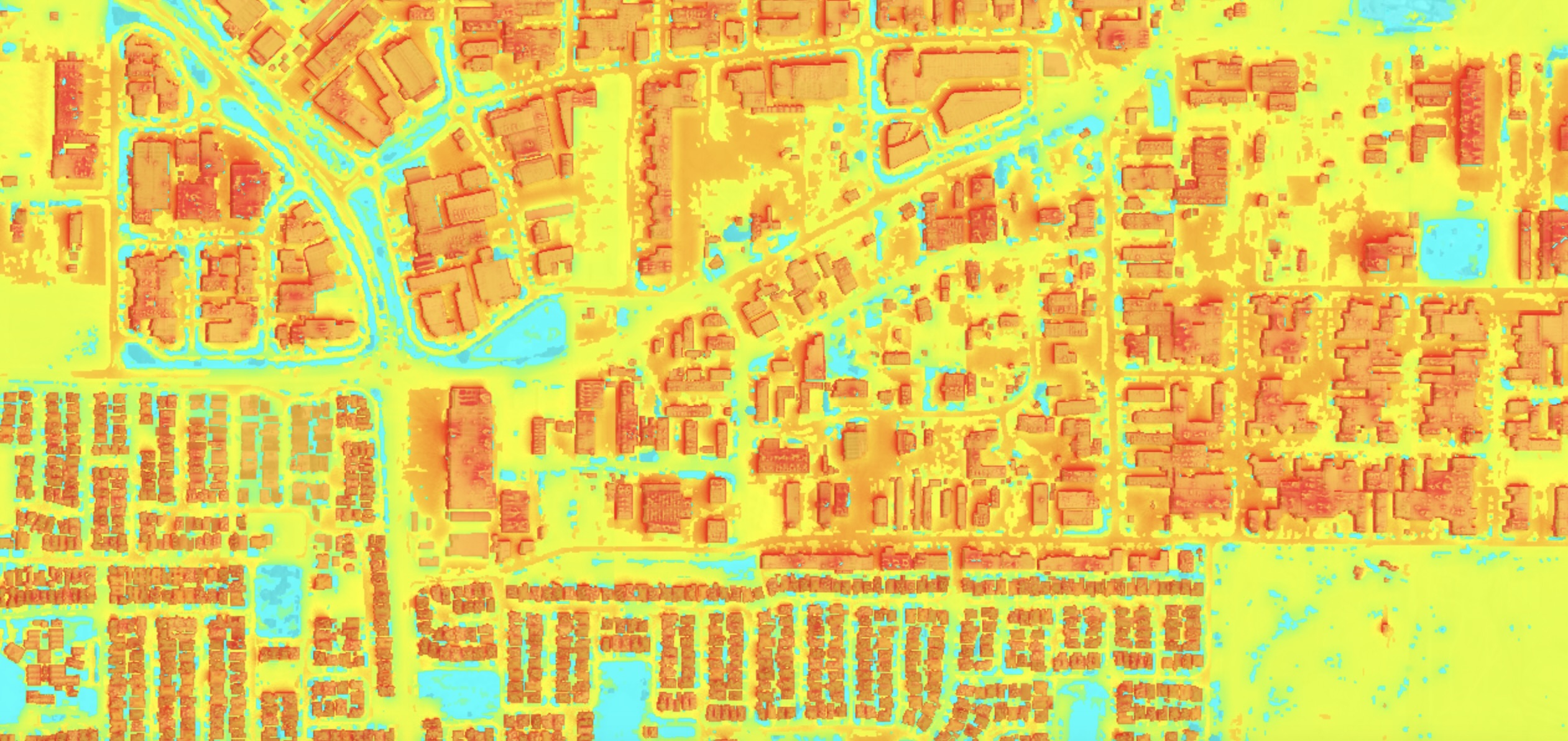
Why is (re)development hot?: Measuring cumulative heat in Australian cities
This project aims to understand the impact of urban redevelopment on heat exposure within Australian cities. Using multitemporal high resolution maps of Australian cities provided by Nearmap AI data, cases of urban (re)development will be detected and the warming signal assoicated with these changes in the built environment will be identified.
Funding provided by Australian Research Council.

Between a hot place and hypoxia: quantifying fish-kill risk in inland rivers.
This research project focuses on the challenges faced by native fish populations in Australian ephemeral rivers where thermal extremes and hypoxia (lack of oxygen) have led to regular fish-kill events. There is a lack of clear understanding about why some species are more tolerant than others, and how decision-makers can anticipate fish-kill risks. The goal is to develop a next-generation fish habitat model that stakeholders can use to assess fish-kill risks and plan restorations.
Funding provided by Australian Research Council.
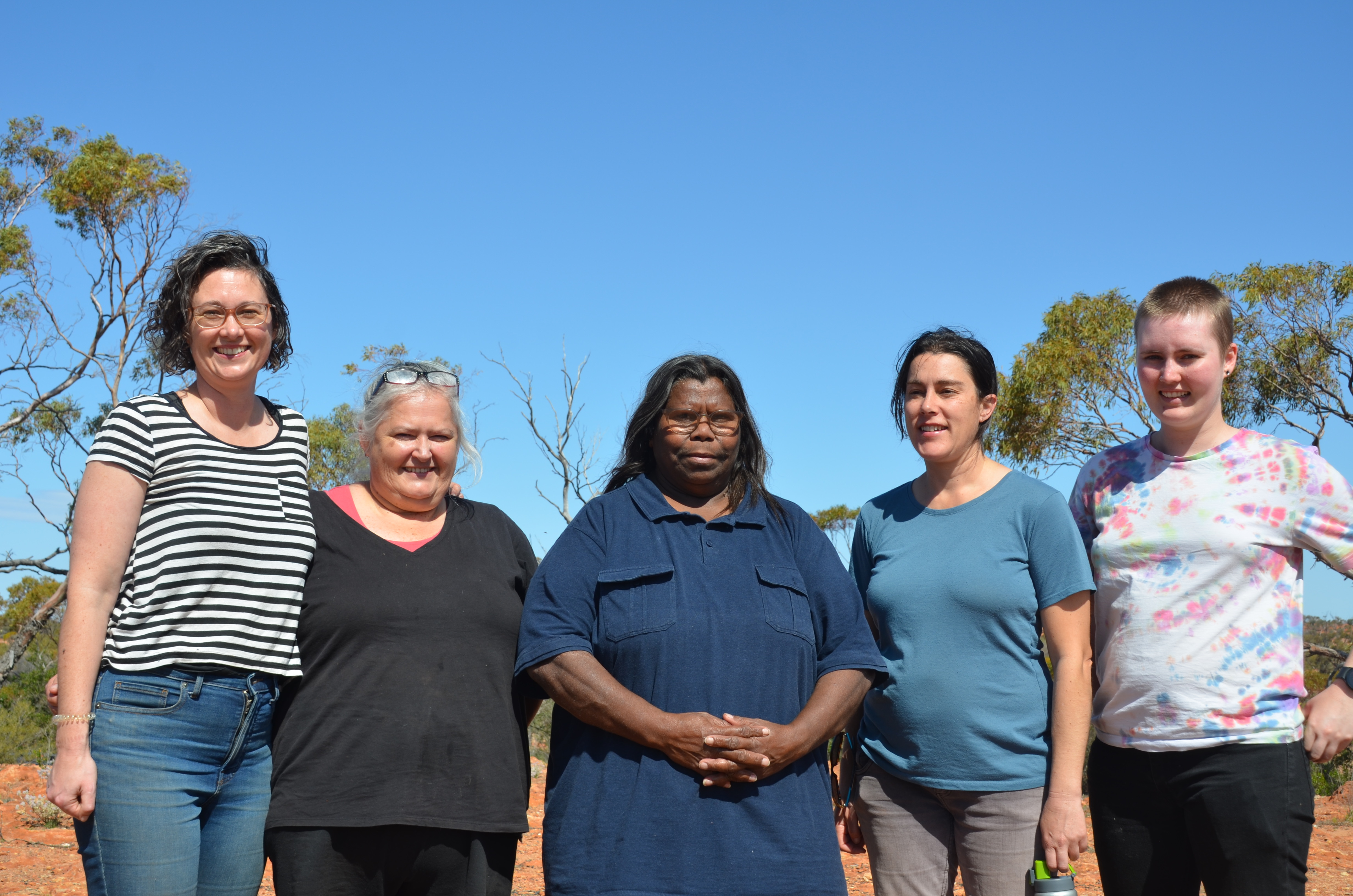
Nitrates in potable groundwater supply
Groundwater supplied to a number of regional and remote WA communities has naturally elevated nitrate concentrations. This project is investigating nitrate exposure through potable water sourced from groundwater in remote Aboriginal communities and potential impacts on health during pregnancy.
Funding provided by Channel 7 Telethon Trust.
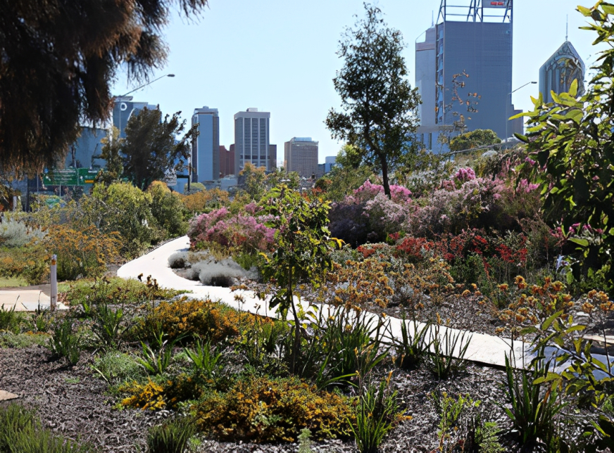
Shades of urban greening: Understanding the social, design and environmental impacts of plant foliage colour in hot cities.
Lush green leaves associated with notions of coolness may not be appropriate for water-limited cities. This research investigates: 1) how the foliage colour and texture of arid-adapted plants influence public perceptions of coolness, and; 2) how air temperature and soil moisture are related to plant colour and texture. The research team will synthesise current knowledge and conduct pilot studies in Perth, Tucson, Arizona.
Funding provided by UWA Research Collaboration Award.
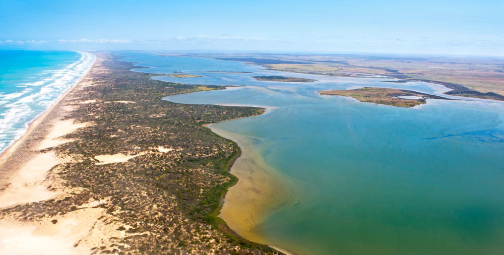
Healthy Coorong, healthy basin improving coastal water quality.
The project aimed to predict salinity levels and understand the significant changes the Coorong system, at the end of the Murray-Darling Basin, has undergone due to prolonged drought periods. This drought has led to a degradation of the seagrass community, and our research sought to identify the causes preventing its recovery. We developed models to predict salinity levels and understand the requirements of the Rupert communities. These models are being utilised by local governments to inform their decision-making processes and guide their efforts to restore the ecosystem.
Funding provided by SA Department of Environment and Water.
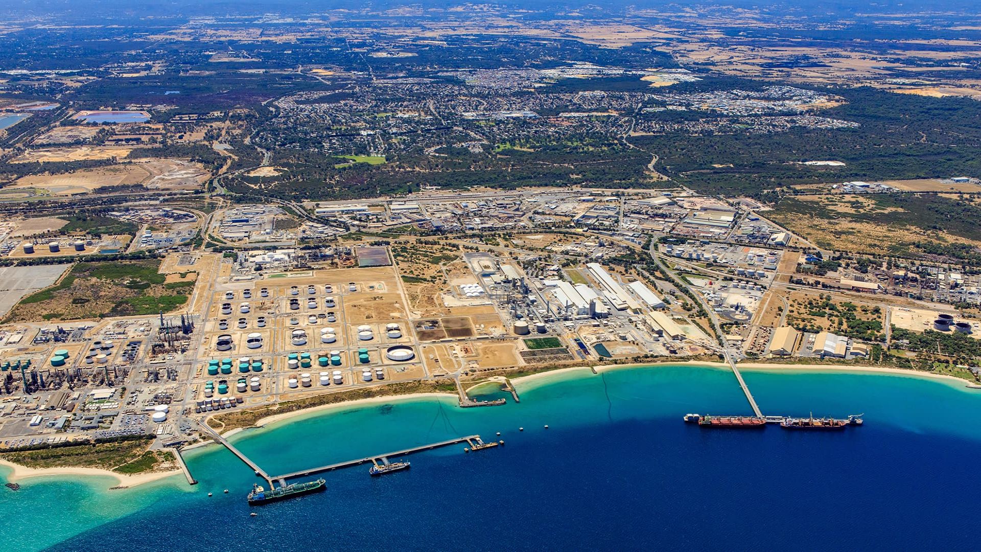
Cockburn Sound integrated ecosystem modelling platform
The WASMI Westport project is focused on understanding and managing the ecosystem of Cockburn Sound. One of the key components of the project is ecosystem modelling. An integrated ecosystem model is developed to predict changes in water quality and habitats under different future scenarios. In parallel, a productivity pathway is established by developing a water quality response model specifically for Cockburn Sound. The goal of the project is to provide a comprehensive understanding of the ecosystem dynamics and inform effective management strategies.
Funding provided by the Department of Transport (Western Australia).